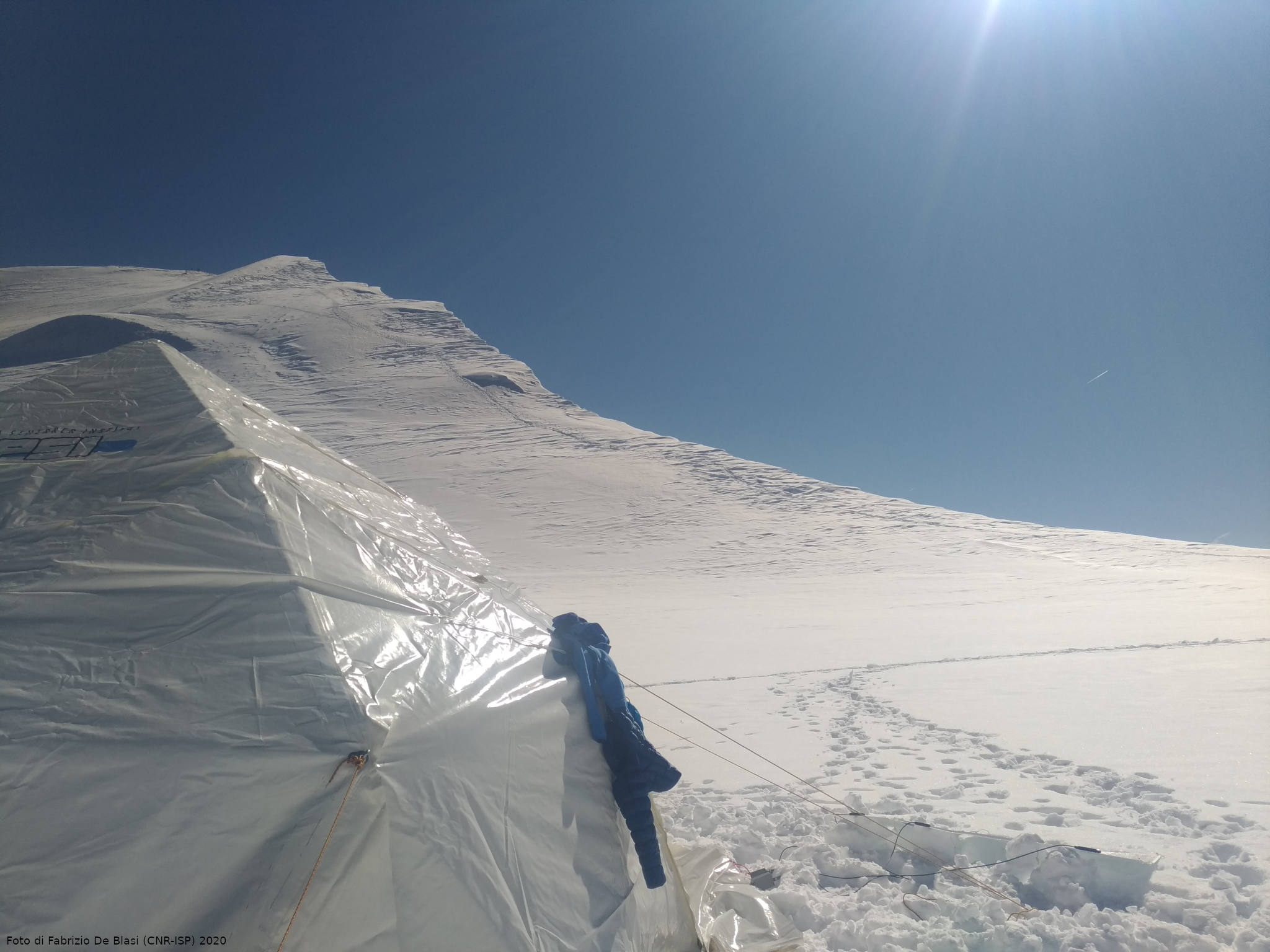
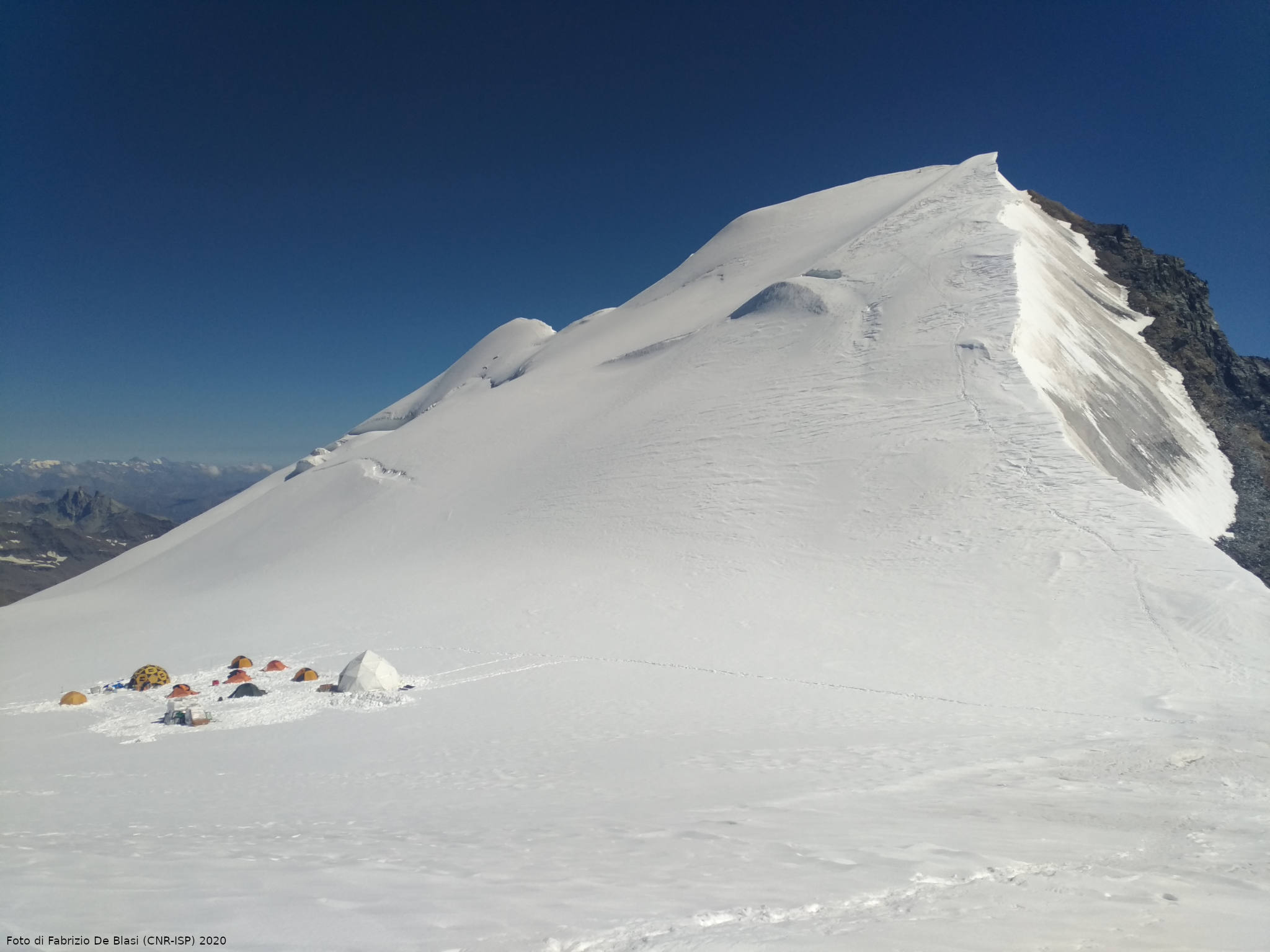
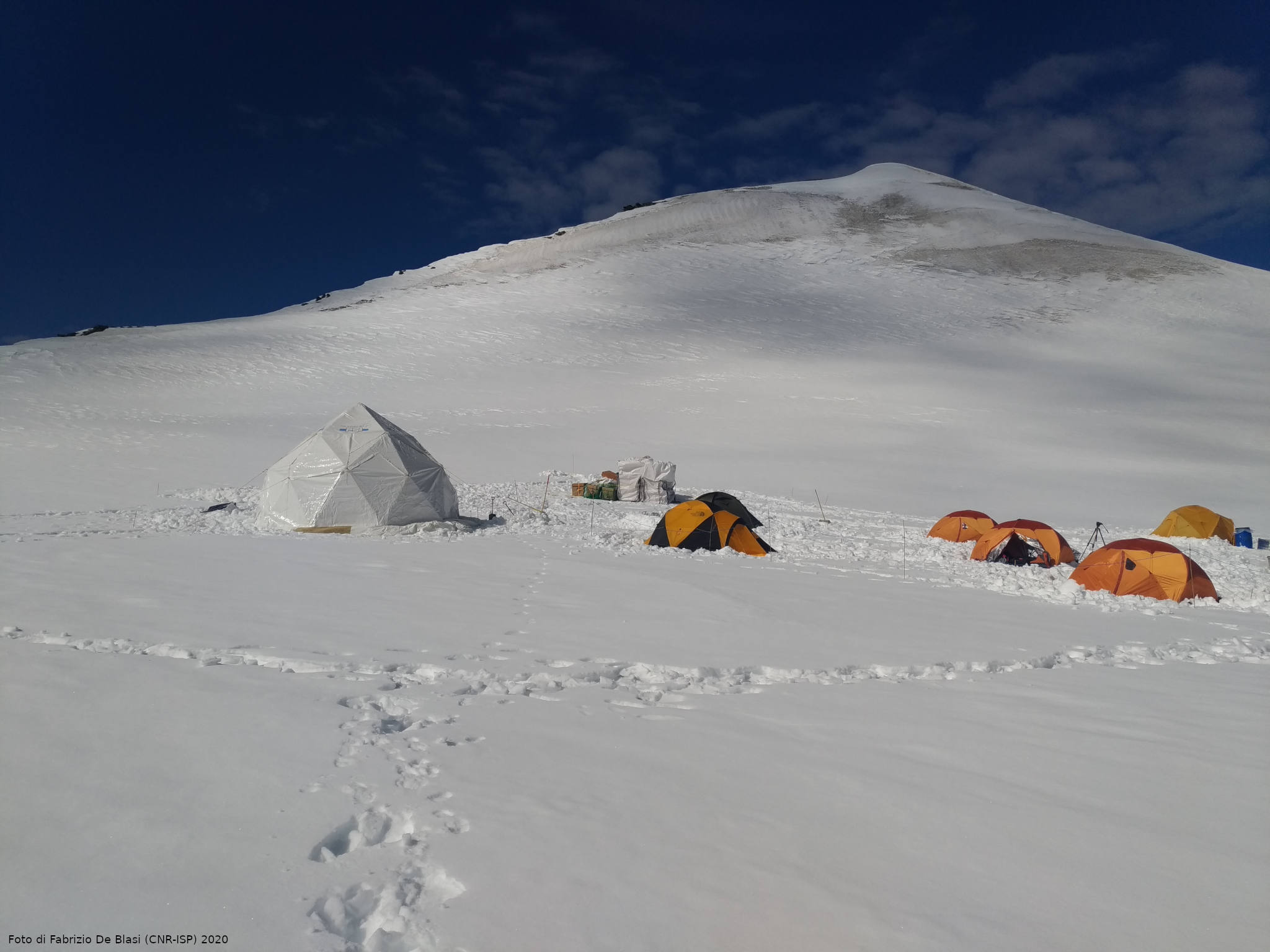
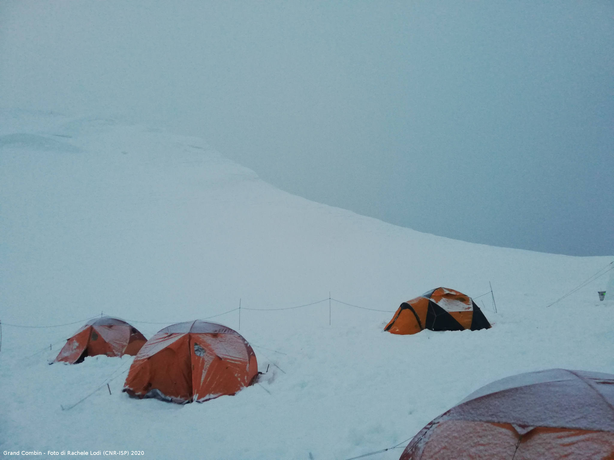
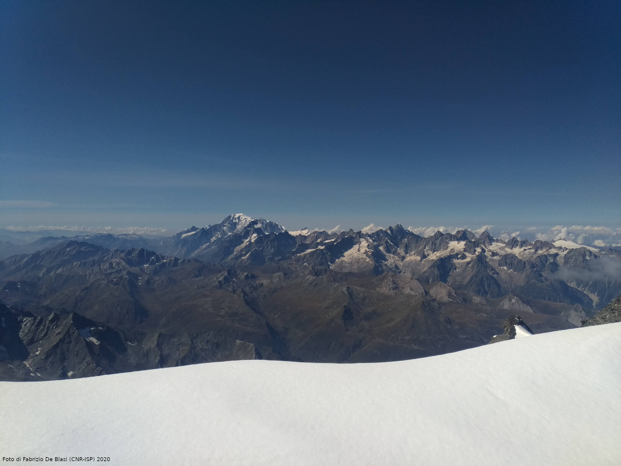
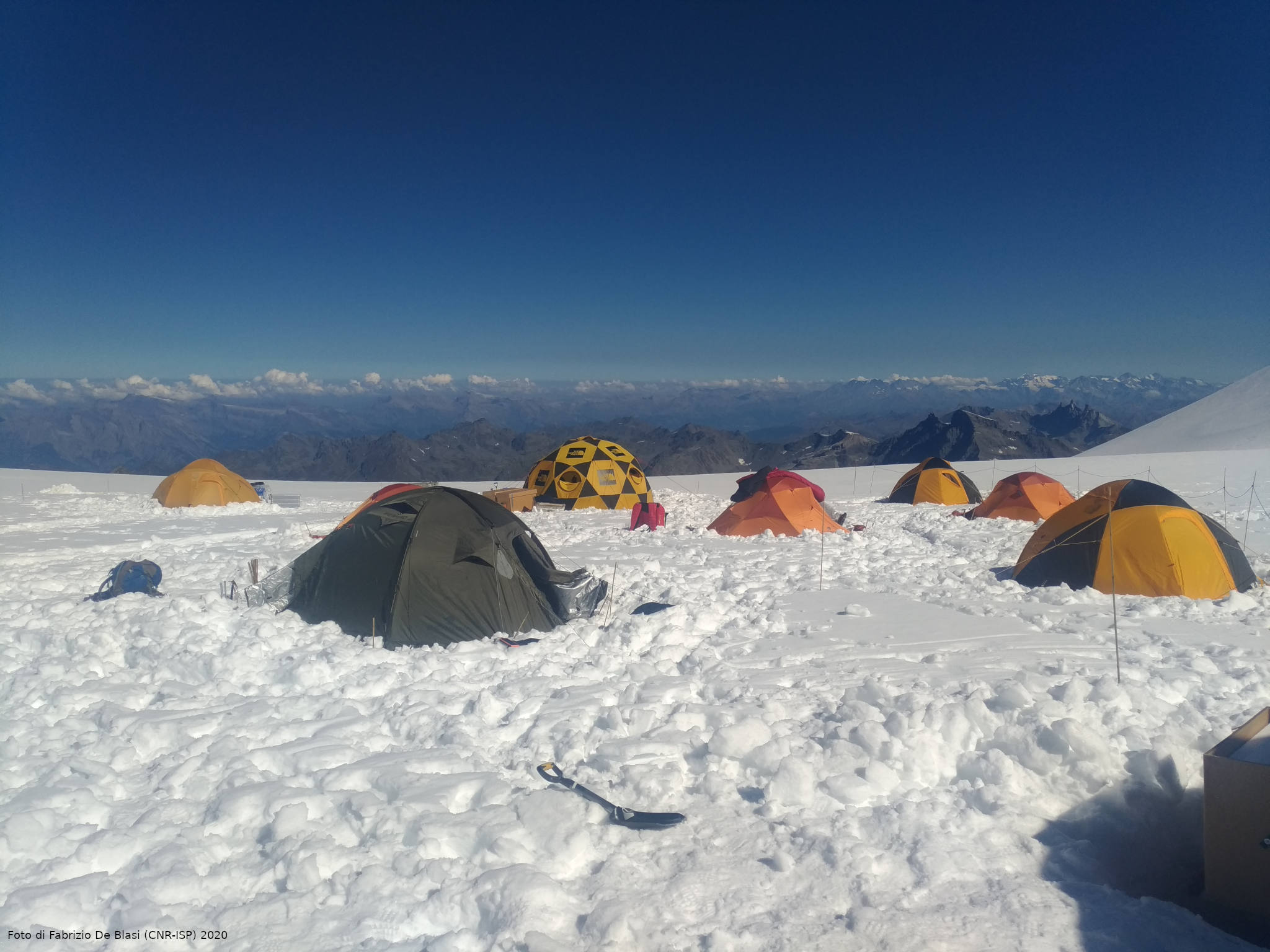
Snow cover
") As well as affecting the mass balance of glaciers and polar ice caps, snow preserves the chemical composition of the atmosphere and interacts dynamically with all other environmental components of the polar regions. It represents an extremely reactive portion of the cryosphere where multiple post-depositional processes can occur. The study of snow cover in these regions is therefore essential to understanding the processes, interactions and changes that are occurring as a result of climate change and help us to assess the impacts on the global system. It is also critical for understanding the mechanisms of re-emission and release of compounds accumulated during the polar night and the significant impact that these releases may have on polar bio-geochemical cycles.
As well as affecting the mass balance of glaciers and polar ice caps, snow preserves the chemical composition of the atmosphere and interacts dynamically with all other environmental components of the polar regions. It represents an extremely reactive portion of the cryosphere where multiple post-depositional processes can occur. The study of snow cover in these regions is therefore essential to understanding the processes, interactions and changes that are occurring as a result of climate change and help us to assess the impacts on the global system. It is also critical for understanding the mechanisms of re-emission and release of compounds accumulated during the polar night and the significant impact that these releases may have on polar bio-geochemical cycles.
Photo by Elena Barbaro (CNR-ISP)
Paleoclimate
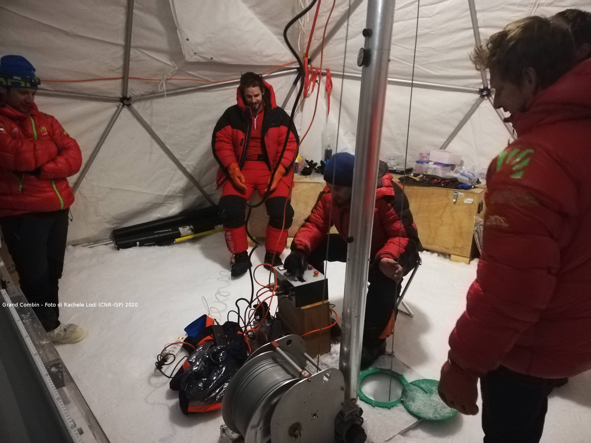
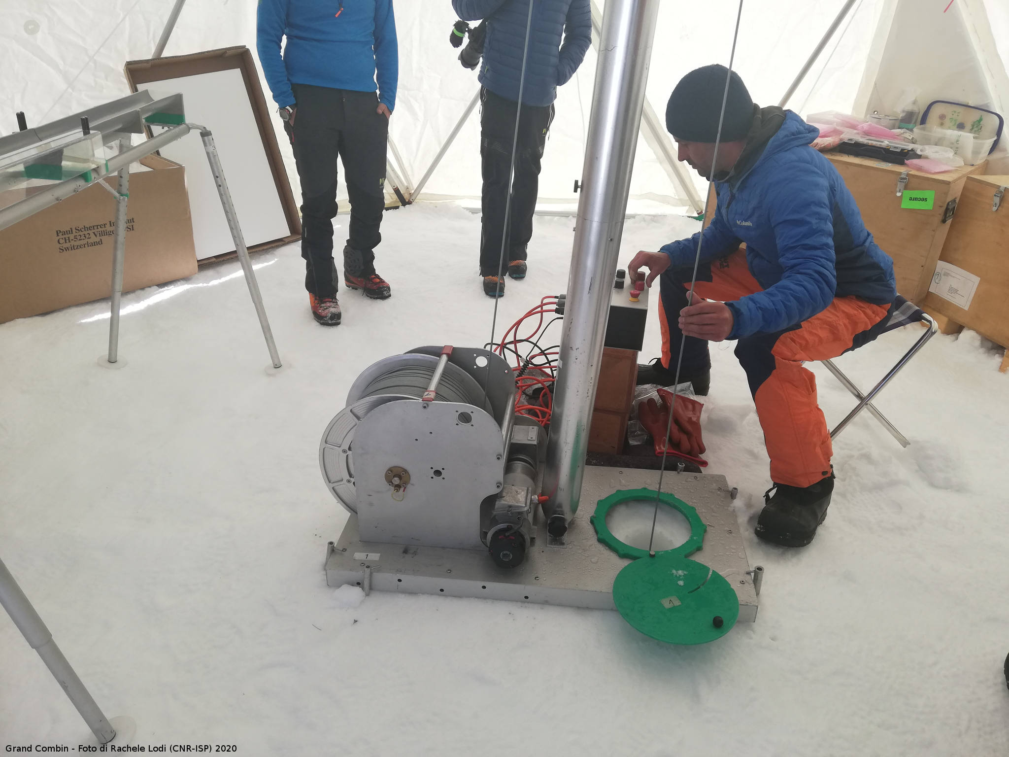
") The ice cores, taken from both polar areas and glaciers of medium latitudes, constitute a real climate archive, allowing the study of climatic and paleoclimatic events that occurred over time, allowing us to assess the impact of natural forcings like volcanoes, fires, sea ice, ocean productivity, understanding these allows to estimate what impact human activities have had and will have on the climatic evolution of our planet. Further diagnostic elements are provided by the marine climate archives which, in analogy with the terrestrial records, allow the reconstruction of sea ice, primary productivity and the human impacts.
The ice cores, taken from both polar areas and glaciers of medium latitudes, constitute a real climate archive, allowing the study of climatic and paleoclimatic events that occurred over time, allowing us to assess the impact of natural forcings like volcanoes, fires, sea ice, ocean productivity, understanding these allows to estimate what impact human activities have had and will have on the climatic evolution of our planet. Further diagnostic elements are provided by the marine climate archives which, in analogy with the terrestrial records, allow the reconstruction of sea ice, primary productivity and the human impacts.
In this perspective, the integration of different but complementary records is fundamental to the integrated study of the climate of the past. Analysis of organic compounds, ionic species, trace elements and climatic proxies can provide useful information on the evolution over time of environmental processes, how they have changed in historical epochs and how they may have amplified/mitigated climatic alterations. The study of data related to our planet’s climate past as well as understanding the climate impact of human activities and/or exceptional natural events, can help us to define possible future scenarios through the implementation of climate models and multi-proxy approaches.
Photo by Jacopo Gabrieli (CNR-ISP)
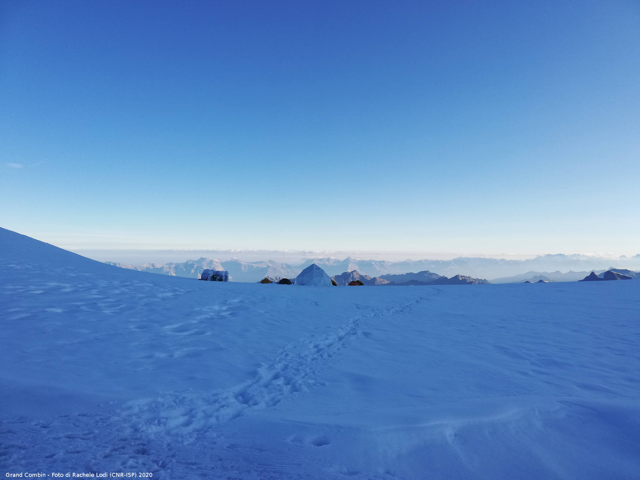
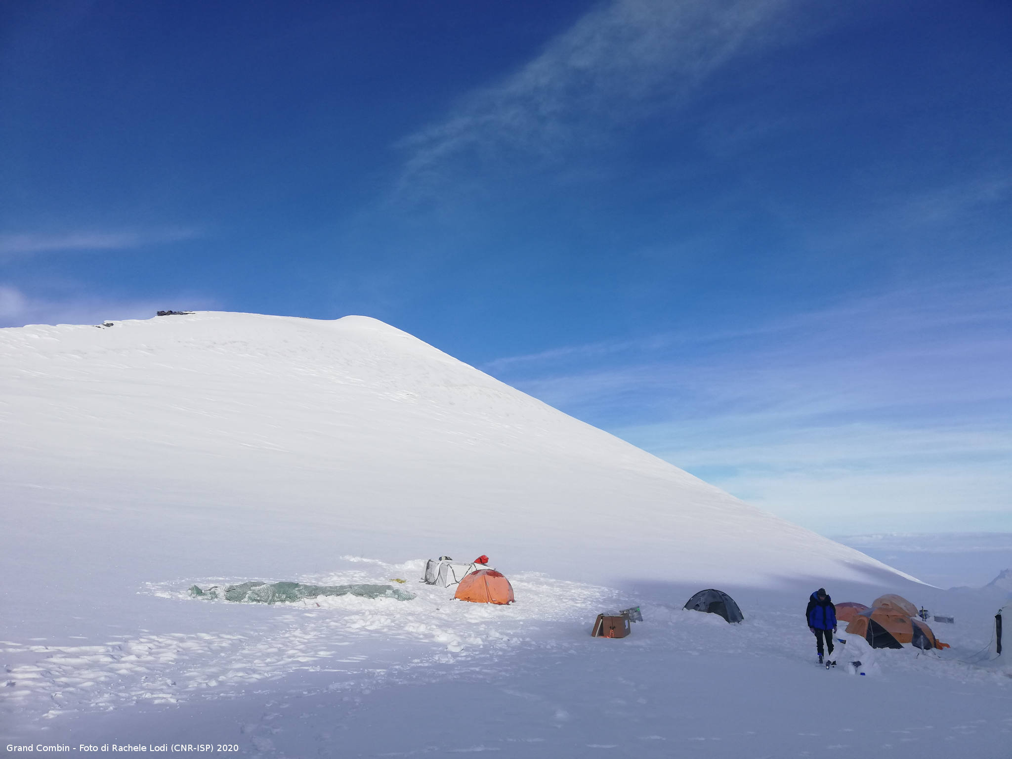
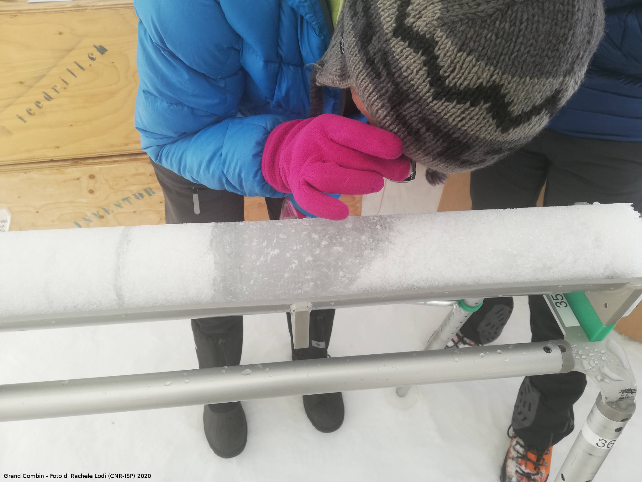
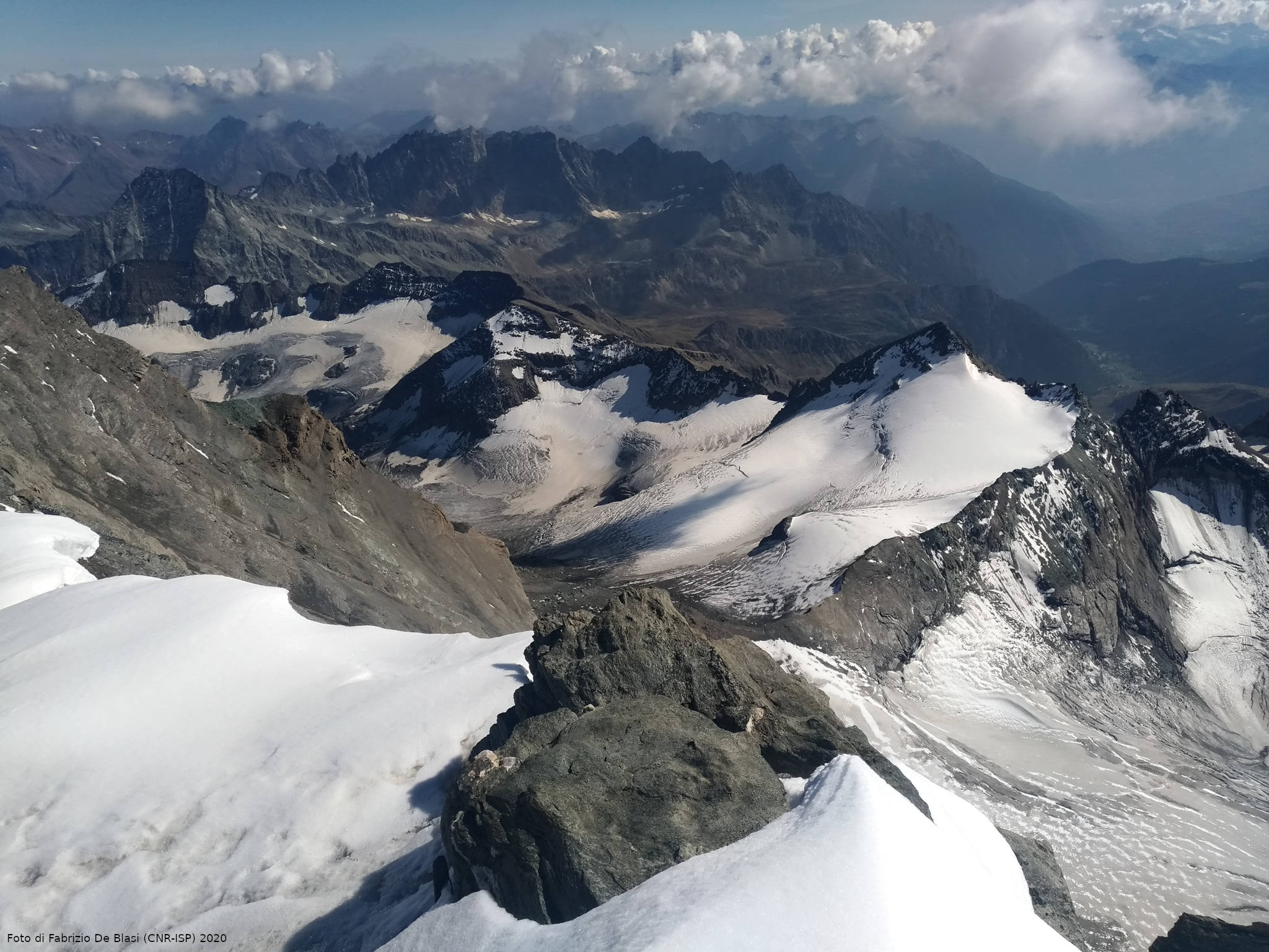
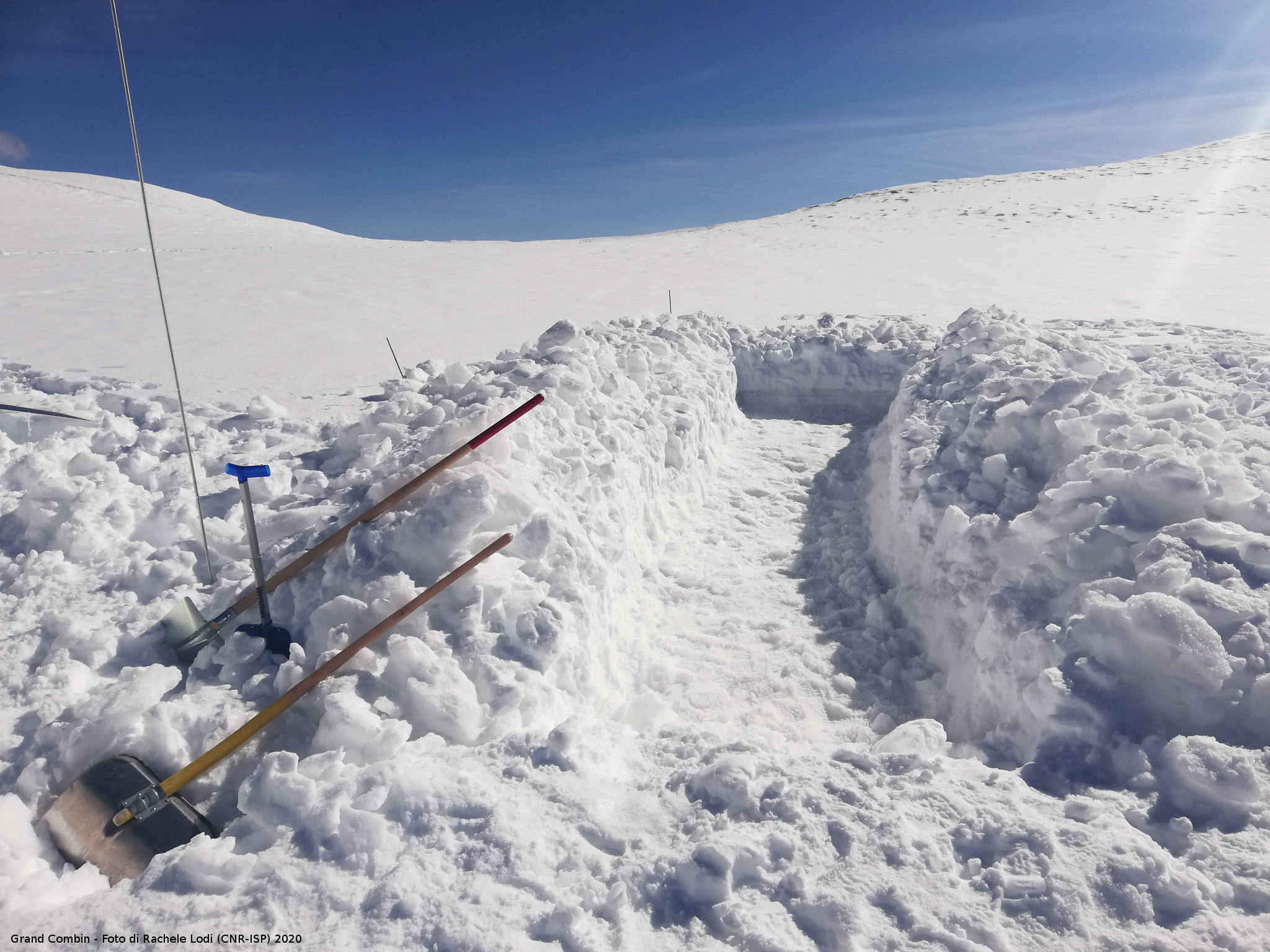
Permafrost
") The permafrost keeps large amounts of organic carbon (OC) stored and segregated inside. The rise in temperature, due to climate change, is causing melting of large portions of permafrost, making the OC content available for microbial decomposition. Metabolic processes linked to the reactivation of permafrost can therefore release significant amounts of greenhouse gases into the atmosphere, such as carbon dioxide and methane, which can affect climate change. The extent, the melting rate and the spatial variability of these processes are poorly known and represent one of the main unknowns about predicting climate feedbacks. But the permafrost, as well as on land, is also found under the seabed, in the continental platforms of the polar regions. The undersea permafrost, formed during the last ice age, is a very important factor for the stability/instability of coastal areas and structures based on the seabed, but above all its destabilization can lead to the release of large quantities of methane gas, which is a powerful greenhouse gas.
The permafrost keeps large amounts of organic carbon (OC) stored and segregated inside. The rise in temperature, due to climate change, is causing melting of large portions of permafrost, making the OC content available for microbial decomposition. Metabolic processes linked to the reactivation of permafrost can therefore release significant amounts of greenhouse gases into the atmosphere, such as carbon dioxide and methane, which can affect climate change. The extent, the melting rate and the spatial variability of these processes are poorly known and represent one of the main unknowns about predicting climate feedbacks. But the permafrost, as well as on land, is also found under the seabed, in the continental platforms of the polar regions. The undersea permafrost, formed during the last ice age, is a very important factor for the stability/instability of coastal areas and structures based on the seabed, but above all its destabilization can lead to the release of large quantities of methane gas, which is a powerful greenhouse gas.
Photo by Rachele Lodi (CNR-ISP)
Remote-sensing
The ISP has expertise in the use of satellite remote sensing for the study of the Earth and marine surfaces, using passive and active sensors.
Remote Sensing with active sensors
Active sensors are radar that operates day and night and with and without cloud cover at microwave frequencies. They are therefore suitable for monitoring polar zones. In the Svalbard and the Arctic, images provided by the Synthetic Aperture Radar high spatial resolution sensors (a few meters) allow us to identify areas of marine ice in coastal areas, the determination of wind on the surface of the sea and the movements of arctic ice. The latter activity is carried out as part of the Arctic project MOSAiC with the SAR images of CosmoSkyMed provided by the Italian Space Agency. Wind data provided by scatterometers on the sea, for climatological studies and dynamic meteorology are also used.
Glaciers modelling of Van Pelt (Paper - data repository)

An example of ASI COSMO-SkyMed satellite SAR images in the operations area of the MOSAiC expedition obtained daily. The asterisk in red indicates the position of the Polarstern icebreaker, while the red lines show its movements in the previous days.
 Remote sensing with passive sensors
Passive sensors are designed to record reflected solar radiation from the Earth’s surface in specific spectral ranges ranging from visible, near infrared, medium and thermal. By measuring the reflected radiation in these ranges, it is possible to recognize remotely the chemical and physical properties of surface materials.
In polar areas, the use of multispectral images, with different spatial and temporal resolutions, therefore, plays an important role in the recognition and monitoring of snow cover, sea and terrestrial ice extent and vegetation coverage. The satellite missions dedicated to Earth observation (Copernicus) are increasingly numerous. Through the integration of acquired data from active and passive sensors we try to monitor the delicate balances present in polar areas.


")
")


") As well as affecting the mass balance of glaciers and polar ice caps, snow preserves the chemical composition of the atmosphere and interacts dynamically with all other environmental components of the polar regions. It represents an extremely reactive portion of the cryosphere where multiple post-depositional processes can occur. The study of snow cover in these regions is therefore essential to understanding the processes, interactions and changes that are occurring as a result of climate change and help us to assess the impacts on the global system. It is also critical for understanding the mechanisms of re-emission and release of compounds accumulated during the polar night and the significant impact that these releases may have on polar bio-geochemical cycles.
As well as affecting the mass balance of glaciers and polar ice caps, snow preserves the chemical composition of the atmosphere and interacts dynamically with all other environmental components of the polar regions. It represents an extremely reactive portion of the cryosphere where multiple post-depositional processes can occur. The study of snow cover in these regions is therefore essential to understanding the processes, interactions and changes that are occurring as a result of climate change and help us to assess the impacts on the global system. It is also critical for understanding the mechanisms of re-emission and release of compounds accumulated during the polar night and the significant impact that these releases may have on polar bio-geochemical cycles. ")
")